What We Do
The SERAG Journey
2020
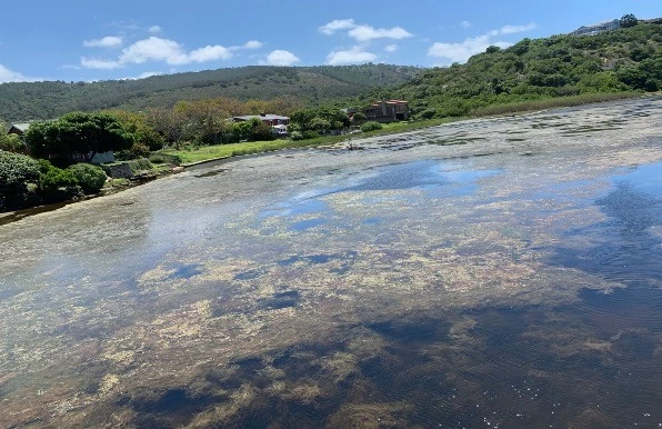
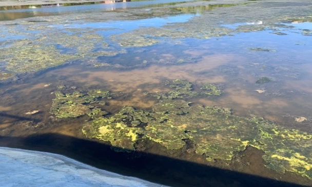
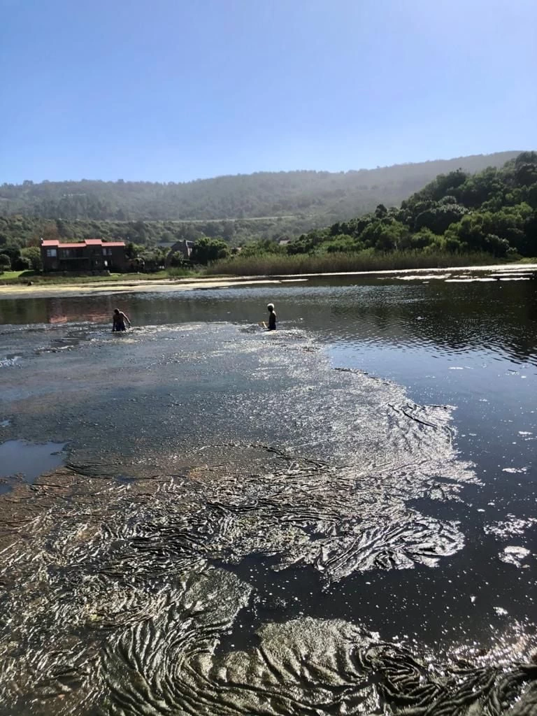
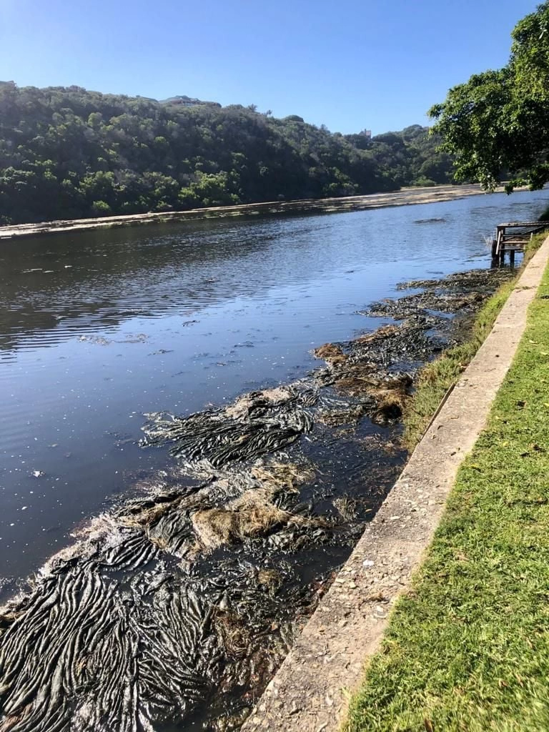
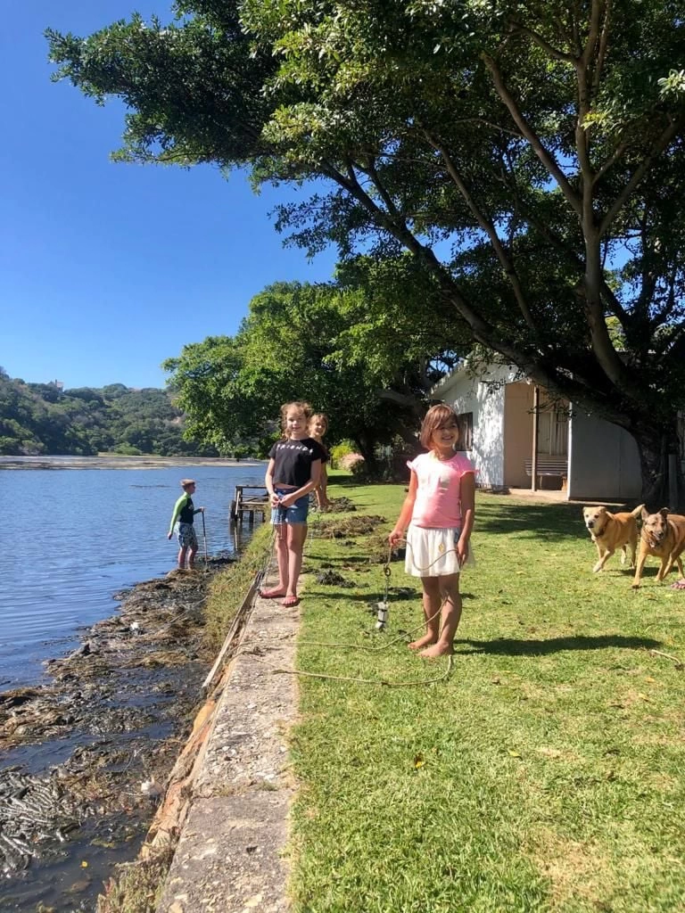
The estuary was in a very poor state - infested with algae, plagued by fish die-offs, and producing a foul smell. The three founding members of SERAG realised they were each trying independently to improve the situation and decided to join forces.
2021
Senior counsel was consulted for legal guidance on how to proceed. The primary recommendation was to establish a Non-Profit Company (NPC) and register it with SARS. This led to the formation of the Southern Estuarine Rehabilitation Action Group NPC (SERAG) and its subsequent registration with SARS.
2021 - January
As requests to change the estuary management protocol were repeatedly met with calls for further scientific study, SERAG engaged Anchor Environmental, a private consultancy employing South Africa’s leading estuarine scientists. In January 2021, Anchor deployed a state-of-the-art AquaTroll 600 water monitoring device in the Great Brak River. The device measures salinity, temperature, dissolved oxygen, dissolved solids, and chlorophyll (primarily algae) every three minutes. It remains in the river today, generating a unique and extensive dataset that makes Great Brak the most monitored river in Africa.
2021 - EMMP
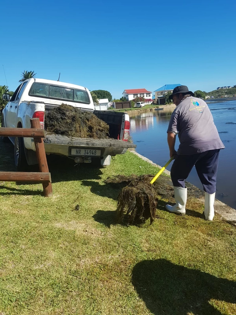
SERAG’s next major action was to have the EMMP revised to allow the removal of thousands of tons of sand and sediment deposited on the floodplain south of the island after years of poorly managed river-mouth breaches.
2021 - September
Working closely with Mossel Bay Municipality, SERAG privately funded the removal of more than 20,000 tons of sand from the south of the island. Although this represented only about half of the sediment that still needs to be removed, it enabled the first effective river-mouth breach since 2016. Seventy-two hours after the channel was opened, a major rainstorm hit the coast and the Wolwedans Dam overtopped for the first time in many years. The island and other low-lying areas avoided flooding thanks to the timely breaching of the river mouth.
2022
A further 20,000 tons of sand and sediment were later removed from the south of Great Brak Island. This included clearing the newly formed dunes and pioneer plant species, restoring the floodplain to its natural flat and wet state.
2024
SERAG engaged Skyspec Technologies to conduct a detailed LiDAR and bathymetric survey of the estuary and the island. The survey established accurate data on the elevation of low-lying properties and the depth of the river. It revealed that the lowest properties sit lower than previously recorded and that large sections of the estuary are significantly shallower than earlier surveys indicated.
2025
Data from the drone survey and the AquaTroll monitoring system was used to inform an update to the Estuary Maintenance Management Plan (EMMP). For the first time, the proposed changes were fully supported by scientific data. The key recommendation is that the river mouth should be kept open far more frequently than in recent years.
2026
The EMMP public comment period concluded with numerous positive submissions and not a single negative comment. Formal approval of the updated EMMP is expected in the near future.